16,2 km | 23 km-effort
Dolmens le Mas d'Azil
loic09
Gebruiker
Lengte
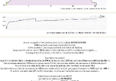
13,7 km
Max. hoogte
587 m
Positief hoogteverschil
302 m
Km-Effort
17,8 km
Min. hoogte
428 m
Negatief hoogteverschil
305 m
Boucle
Ja
Datum van aanmaak :
2024-06-02 07:04:19.931
Laatste wijziging :
2024-06-02 11:37:38.979
3h42
Moeilijkheid : Gemakkelijk
Gratisgps-wandelapplicatie
Over ons
Tocht Stappen van 13,7 km beschikbaar op Occitanië, Ariège, Le Mas-d'Azil. Deze tocht wordt voorgesteld door loic09.
Plaatsbepaling
Land:
France
Regio :
Occitanië
Departement/Provincie :
Ariège
Gemeente :
Le Mas-d'Azil
Locatie:
Unknown
Vertrek:(Dec)
Vertrek:(UTM)
365744 ; 4771133 (31T) N.
Opmerkingen
Wandeltochten in de omgeving
2023 09 19 CHEMIN du PIÉMONT PYRÉNÉEN - 12ème étape : Le Mas-d’Azit - Grotte ...
Stappen
Medium
Le Mas-d'Azil,
Occitanië,
Ariège,
France
32 km | 43 km-effort
6h 0min
Neen
Mas d'Azil lac de Filliet
Stappen
Heel gemakkelijk
Le Mas-d'Azil,
Occitanië,
Ariège,
France
13,3 km | 16,2 km-effort
3h 23min
Ja
Pyrénées-140906 - DolmensMasDazil
Stappen
Medium
Le Mas-d'Azil,
Occitanië,
Ariège,
France
13,1 km | 18,3 km-effort
5h 15min
Ja
Grande Traversée VTT FFC Arièges Pyrénées - Etape 10 - Le Mas d'Azil - Lescure
Mountainbike
Moeilijk
Le Mas-d'Azil,
Occitanië,
Ariège,
France
16,5 km | 22 km-effort
1h 45min
Neen
Champignons 26/08
Stappen
Medium
Gabre,
Occitanië,
Ariège,
France
4,8 km | 6,9 km-effort
2h 52min
Ja
Le Mas-d'Azil
Mountainbike
Moeilijk
Le Mas-d'Azil,
Occitanië,
Ariège,
France
48 km | 63 km-effort
6h 2min
Ja
Le Mas d'Azil - Carla-Bayle
Paard
Moeilijk
Le Mas-d'Azil,
Occitanië,
Ariège,
France
13,1 km | 18,4 km-effort
1h 30min
Neen
Chemin de St Jacques - Mondely - Montjoie
Paard
Zeer moeilijk
La Bastide-de-Sérou,
Occitanië,
Ariège,
France
28 km | 39 km-effort
3h 15min
Neen
Départ du parking du Cap Del Puech, dolmen de Brillaud, dolmen de Coumenge et retour